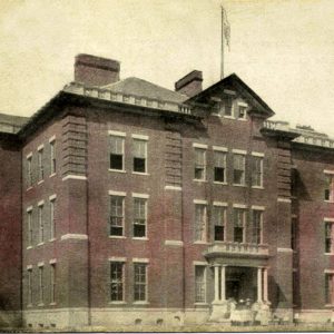
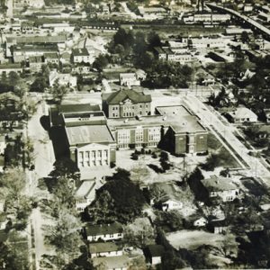
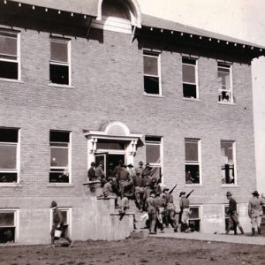
 El Dorado High School
Entry Type: Place - Starting with E
El Dorado High School
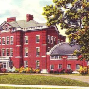
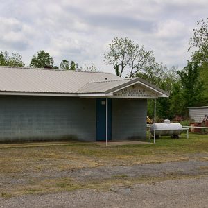
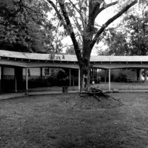
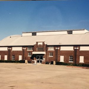 El Dorado High School Gym
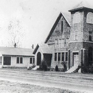
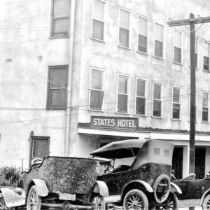 El Dorado Hotel
 El Dorado Junior College
 El Dorado Junior College
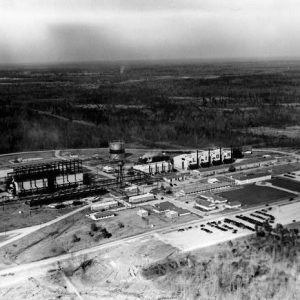 El Dorado Oil Company
 El Dorado Street
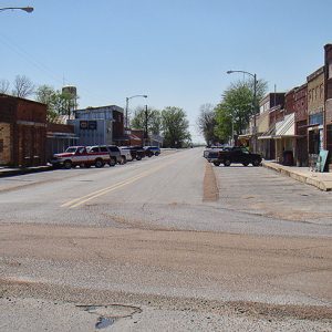
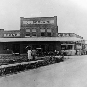
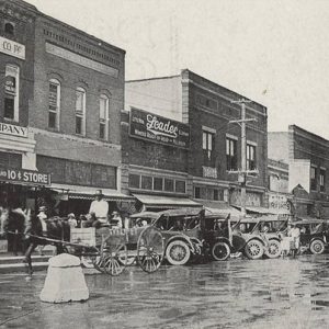 El Dorado Street Scene
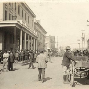 El Dorado Street Scene
El Paso (White County)
El Paso is a small community located on the southern slope of Cadron Ridge in the southwestern corner of White County near the intersection of U.S. Highway 64 and State Highway 5. It is one of the county’s early settlements and entertained hopes of being chosen as the county seat in 1835. Settlers began arriving at the valley created by two parallel ridges, Cadron Ridge and Bull Mountain, in the 1830s. Attracted by area springs and fertile lands, they first established themselves on the southern slope of Bull Mountain at a place called Peach Orchard Gap. The name was chosen due to the peach trees growing there. Over time, settlers passed through the gap to the southern slope of Cadron …
 El Paso
 El Paso
 El Paso
 El Paso Masonic Lodge
Elaine (Phillips County)
The name of Elaine (Phillips County) will always be linked with a race massacre that broke out in the fall of 1919, leaving scores of African Americans dead. Aside from this one memorable incident, the city is representative of life in the Delta region that includes eastern Arkansas. When Arkansas became a state in 1836, the area of present-day Elaine was still swampland. It was designated as such by the Swamp and Overflow Act, passed by the U.S. Congress in 1850. Silas Craig and John Martin purchased Phillips County land from the State of Arkansas under the provisions of that act, and the land passed through several owners—including the State of Arkansas a second time, due to unpaid taxes—but was …
 Elaine Street Scene
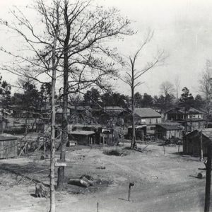
 Elaine Temporary Stockade
 Elaine Methodist Church
 Elaine Street Scene
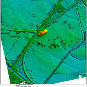 Elevation Model
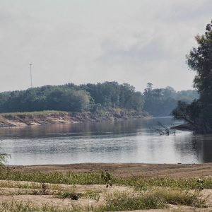
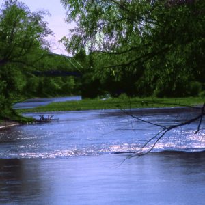 Eleven Point River
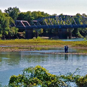 Eleven Point River
Elgin (Jackson County)
Elgin is located on Jackson County Road 64 about six miles west-southwest of Tuckerman (Jackson County) and about three miles east-southeast of Cord (Independence County). Elgin lies in the Black River bottoms, excellent terrain for large productive farms, although devastating floods sometimes occur. The bridge on Highway 37 occasionally closes because of high water. The bottoms once grew mainly cotton, but today soybeans and other crops dominate. Historically, Elgin was an important riverboat town, with its ferry being on the main road between Batesville (Independence County) and Jacksonport (Jackson County), about eight and a half miles south of the confluence of the Black and White rivers. Elgin was the name of a 3,000-acre plantation in the Black River bottoms owned …
Elizabeth (Jackson County)
Elizabeth (sometimes called Elizabethtown) thrived as a port on the White River and became the seat of Jackson County in 1839. However, the river later shifted course and eroded away what remained of the community. Native Americans were the first to take advantage of the Black and White rivers for transportation and trade, followed by French hunters, trappers, and fur traders, many of them from Canada, who plied the area’s rivers during the eighteenth century and continued after the Louisiana Purchase of 1803 until about 1815. Keelboats were an early mode of transportation for the early settlers, who could use them on the upper White River to maneuver the sharp bends, rapids, and low water levels along the river during …
 Elizabeth Site
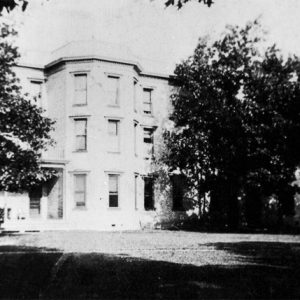 Elizabeth Hall
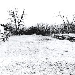
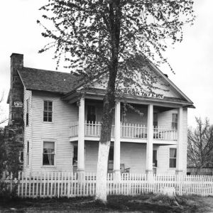 Elkhorn Tavern
 Elkhorn Tavern
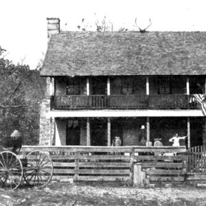 Elkhorn Tavern
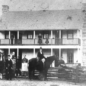
 Elkhorn Tavern on the Springfield to Fayetteville Road
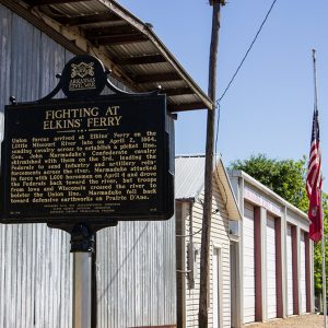 Elkin's (or Elkins') Ferry Sign
Elkins (Washington County)
Washington County’s community of Elkins (comprising the former Harris and Hood communities) borders Arkansas Highway 16, the entrance to the “Pig Trail,” a scenic drive in the Ozarks. Two tributaries of the White River flow through the town, providing excellent canoeing, fishing, and swimming. Nearby are the Ozark National Forest and the Ozark Highlands National Recreation Trail. Elkins has numerous antebellum homes and the one-lane bridge on Mount Olive Road that was a centerpiece of the 1982 television miniseries The Blue and the Gray. There is evidence of prehistoric settlement in the area, most notably in a mound complex commonly dubbed the Elkins Mounds. This Mississippian Period complex likely consisted of five mounds originally, though one has since been destroyed. …
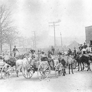 Elkins in 1903
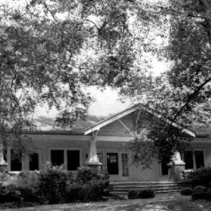 Elliott House
 Elliott House
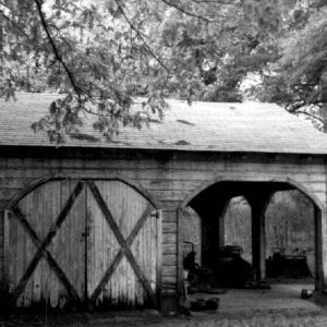
 Elliott House Rear View
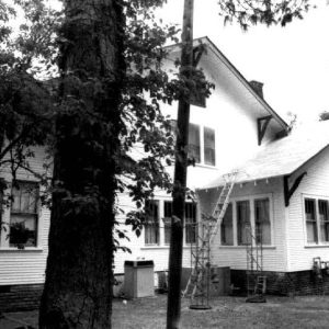
 Elliott House Walkway
Elm (Clark County)
Elm is a small community in the northwestern corner of Clark County less than one mile south of the border with Hot Spring County. The community is about five miles northeast of Amity (Clark County) and twelve miles west of Bismarck (Hot Spring County). Early settlers in the area include the Dillard, Jones, and Ewing families. Oran Dillard arrived in the area around 1848 and cleared about twelve acres of land for crops. Dillard appears in the 1850 federal census along with his wife, Sally; three sons; and three daughters. The family owned land along the road connecting Murfreesboro (Pike County) and Rockport (Hot Spring County). The first school, housed in a former home, opened in 1854, led by James …
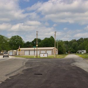
Elm Park (Scott County)
Elm Park is an unincorporated community located in north-central Scott County along the Petit Jean River between where Highways 378 and 23 form a junction with Highway 71. The date of Elm Park’s establishment is unclear. Agriculture has traditionally been an important way of life in the community. Prior to European exploration, Elm Park and the surrounding area was an unexplored wilderness. Species of wildlife that longer inhabit the area, such as elk and buffalo, were present throughout the region. Archaeological findings have provided evidence of early inhabitants dating to the Archaic, Woodland, and Mississippian periods. Additional archaeological evidence has indicated that the Caddo tribe had a strong presence along the Petit Jean River and other prominent waterways. Throughout the …
 Elm Park Rest Area
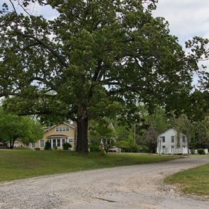
Elm Springs (Washington and Benton Counties)
The city of Elm Springs straddles the county line of Washington and Benton counties. At one time, it was one of the principal cities of Washington County, but more recently it has been overshadowed by the growth of its neighbor, Springdale (Washington County). Recent efforts to revitalize the community have featured businesses specializing in home decorations and furniture restoration. A grove of large elm trees and natural springs strong enough to power a mill inspired the name Elm Springs. Thomas McClain (or McLain) is said to have homesteaded in the area as early as 1831, but his name does not appear on land records. The earliest documented land owners include John Ingram, John Hamilton, William Barrington, and Jacob Pearson. The …
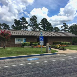
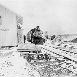 Elm Springs Depot
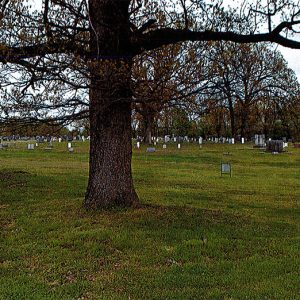
 Elm Springs Cemetery Entrance
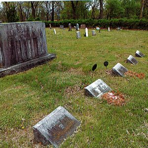 Elm Springs Cemetery Gravestones
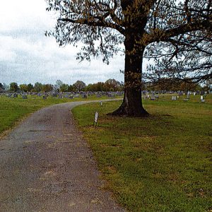
 Elm Springs Cemetery Grounds
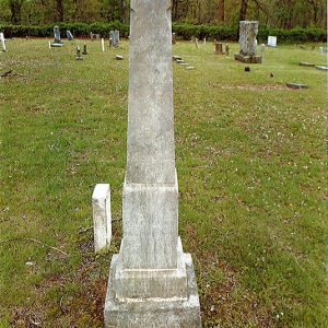 Elm Springs Cemetery Monument
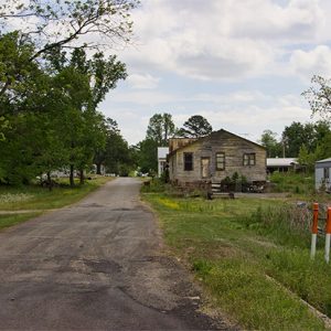
Elmo (Independence County)
Elmo is a historic community located in a wooded area, with plowed fields on each side, between Highway 14 (Newport Road) and the White River, which is about a half mile away. Elmo is about four miles east of Oil Trough (Independence County) and about six miles west of Newport (Jackson County). Nearby are Dunnington (Independence County), Aydelott (Independence County), and Macks (Jackson County). The White River bottoms in what became known as Pleasant Island and later Oil Trough first became a popular area for bear hunting by the French before the Louisiana Purchase of 1803. The rich alluvial soil beckoned farmers, who began growing cotton and corn in the early days of American settlement, even though the area was …
Elmore (Hot Spring County)
Located about six miles southwest of Malvern (Hot Spring County), four miles northeast of Donaldson (Hot Spring County), and two miles southwest of Etta (Hot Spring County), Elmore was an unincorporated community related to the timber industry in the late nineteenth century. John Kelly (J. K.) Hall was born in Hot Spring County in 1856. During the Civil War, his father, James Hall, died as a Confederate prisoner of war in St. Louis in 1862; James’s wife raised Hall and his siblings. After spending a few years in Texas, where he married Nancy Guinn Nichols, Hall returned to Hot Spring County and worked for the Christopher and Clark Lumber Company. Purchasing the company in 1886, he renamed it the J. …
 Elmwood Grave
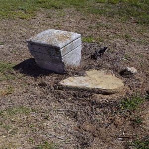 Elmwood Grave


