B. M. Runyan [Steamboat]
The steamboat B. M. Runyan was carrying a regiment of Union soldiers when it struck a snag in the Mississippi River off Chicot County on July 21, 1864, and sank, killing as many as 150 people. The B. M. Runyan was a sidewheel paddleboat built in Cincinnati, Ohio, in 1858 for Captain James Miller and his partners, who intended to use it for runs between Cincinnati and New Orleans, Louisiana. A Mr. Mitchell of Alton, Illinois, bought the Runyan in June 1862 for voyages between Alton and St. Louis, Missouri. The vessel sank in shallow waters below Alton that December and was raised and sent to St. Louis for repairs. Returned to service in 1864, the B. M. Runyan again …
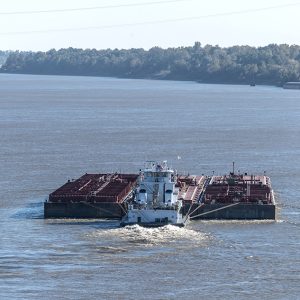 Barge
Barge 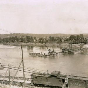 Baring Cross Bridge
 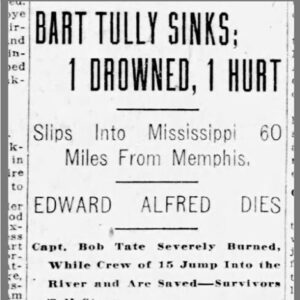 Bart Tully Article
 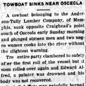 Bart Tully Article
 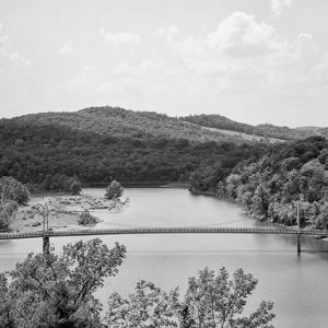 Beaver Bridge
 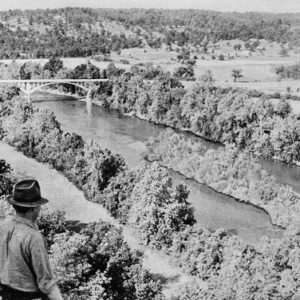 Before Norfork Lake
 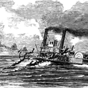 Belle Zane Steamboat
 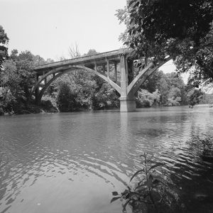 Benton Bridge
  Blakely Mountain Dam
 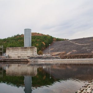 Blakely Mountain Dam
 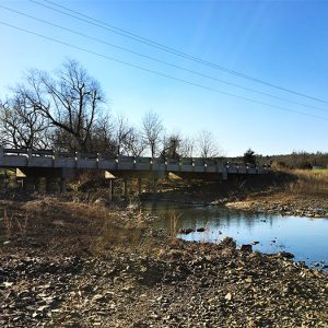 Blansett Bridge
 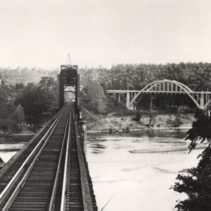 Bridge 178
 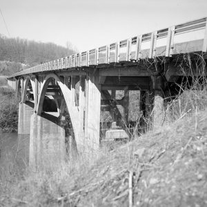 Buffalo River Bridge
  Bull Shoals Dam Power Plants


