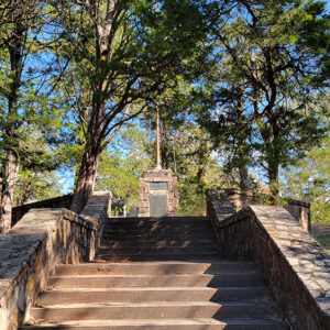
 Water Works Monument
Entry Category: Physical Geography - Starting with W
Water Works Monument
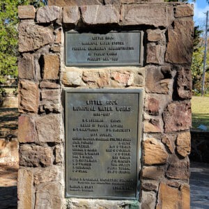 Water Works Monument
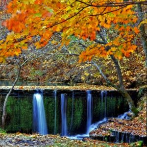
Waterfalls
Waterfalls often form as a stream flows over different bands of rock, with the soft rock eroding more quickly to undercut the hard rock. Unsupported, the overhanging rock eventually collapses. This fallen rock crashes down into a pool of water where the water’s swirling action results in more erosion. Over time, this process is repeated, resulting in a series of stair-step waterfalls retreating up a hillside. Nature creates an array of different types of vertical water runoffs. Experts have different ideas about what constitutes a waterfall. Although there are no definitive criteria, two methods have been developed to categorize waterfalls. Geometrical Classification categorizes waterfalls based on shapes and physical features. This method is helpful to identify falls for their visual …
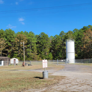 Waterworks
 West Point River Access
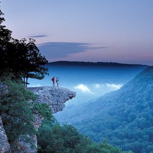 Whitaker Point
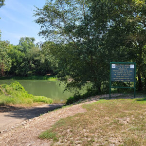
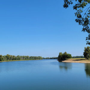
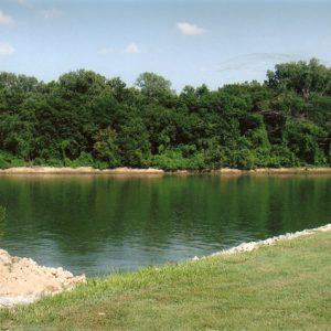
White River
The 722-mile-long White River flowing through northern Arkansas and southern Missouri is a major tributary of the Mississippi River. The river begins in northwestern Arkansas in the Boston Mountains and flows east toward the Fayetteville (Washington County) area, where it then turns north. Near Eureka Springs (Carroll County), the river enters Missouri. It then flows southeast back into Arkansas past Bull Shoals (Marion County), Mountain Home (Baxter County), and Calico Rock (Izard County). At Batesville (Independence County) begins the second section of the river, known as the lower White. From Batesville, the White River flows south for 295 miles through Arkansas’s Delta region, past Augusta (Woodruff County), Des Arc (Prairie County), Clarendon (Monroe County), and St. Charles (Arkansas County), before …
 White River at DeValls Bluff
 White River
 White River at Georgetown
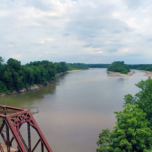
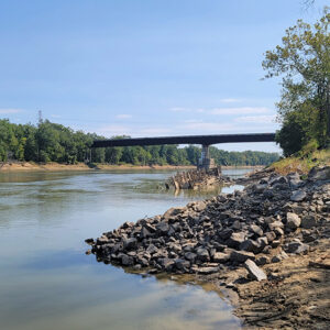
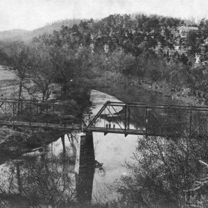 White River Bridge
 White River Monster Refuge
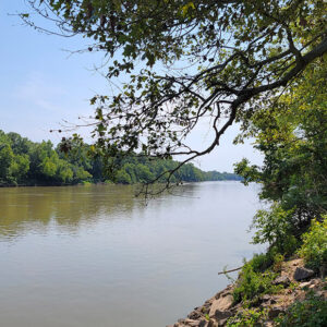
 White River View
 Withrow Springs State Park
Wonderland Cave
Wonderland Cave is a natural underground cavern in Bella Vista (Benton County) about a mile east of U.S. Highway 71 up Dartmoor Road, near Cooper Elementary School. Clarence Andrew (C. A.) Linebarger, general manager of the resort of Bella Vista, developed it as a tourist attraction and place for local entertainment, opening it on March 1, 1930. The cave was added to the National Register of Historic Places on January 1, 1988. About 300 feet into the cave from the entrance is a large, naturally vaulted chamber with a concrete floor. That is where dances were held for decades, with an alcove for a ten- to twelve-piece band, a thirty-foot bar at the opposite end, and wooden and stone booths …


