Galley Rock
aka: Galla Rock (Pope County)
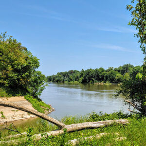
Galley Rock in Pope County is a two-mile shale bluff that rises almost forty feet high on the north bank of the Arkansas River, just northwest of Petit Jean Mountain. It was a natural landmark for early explorers and settlers. The area was a site for Cherokee settlers of the early 1800s and became a thriving river town in the 1830s. However, by the 1870s, the town experienced a decline, and all that remains today is the town cemetery. During the late 1700s, river travel was the safest and most reliable mode of transportation. French explorers and trappers navigated the Arkansas River with only striking, geologic features marking the locations of their trading posts and hunting camps. Galley (or Galla) …
 Georgetown River Access
 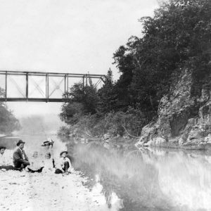 Glenwood Railroad Bridge
 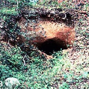 Gold Mine Springs Mines
 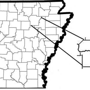 Gold Mine Springs Mines Location
 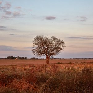 Grand Prairie
 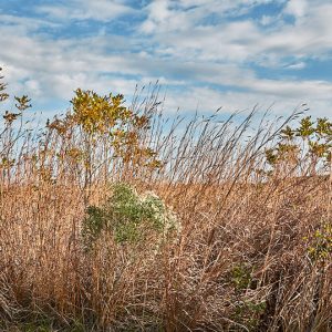 Grand Prairie Grassland


