South Fork Nature Center
South Fork Nature Center (SFNC), which opened in 2010, is the Gates Rogers Foundation’s premier conservancy project. Located in central Arkansas just east of Clinton (Van Buren County), it lies in the Boston Mountains range of the Ozark Mountains on the banks of the South Fork of the Little Red River section of Greers Ferry Lake. Featuring two miles of interpretive nature trails on the peninsula and a spectacular view of the lake, the center serves as a model to educate and inspire the public to be aware of the environment, to protect vulnerable plant and animal species, and to adopt practices that are ecologically sound. It seeks to preserve Arkansas’s native flora and fauna in a manner that ensures …
 Southeastern Slope
 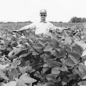 Soybean Field
  Spadra Mine
 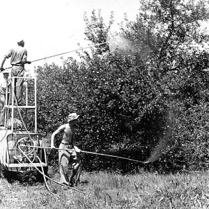 Spraying for Codling Moth
 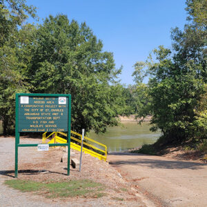 St. Charles Access
 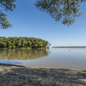 St. Francis and Mississippi Rivers
 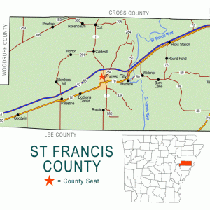 St. Francis County Map
 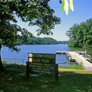 Storm Creek Lake
 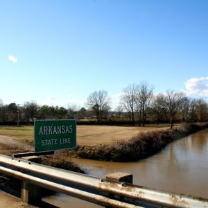 St. Francis River
  State History Atlas
 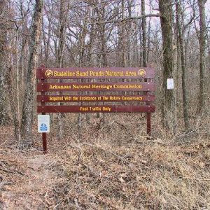 Stateline Sand Ponds Natural Area
 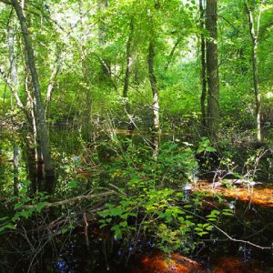 Stateline Sand Ponds Natural Area
 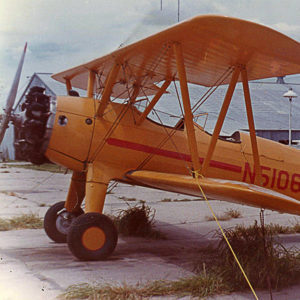 Stearman Crop Duster
 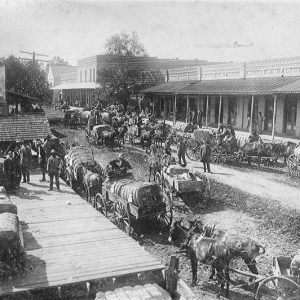 Stephens Cotton Wagons
 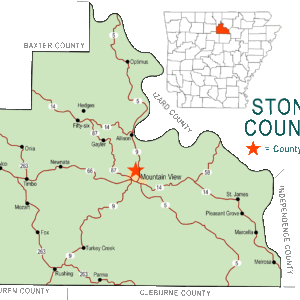 Stone County Map
 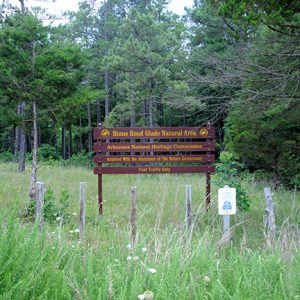 Stone Road Glade Natural Area
 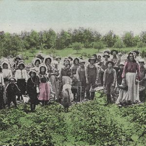 Strawberry Farm
 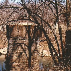 Strawberry River Bridge
 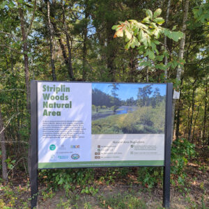 Striplin Woods Natural Area
 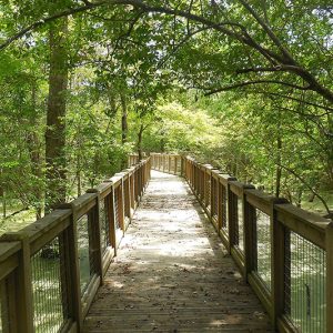 Striplin Woods Natural Area
  Stump Saw Ad
 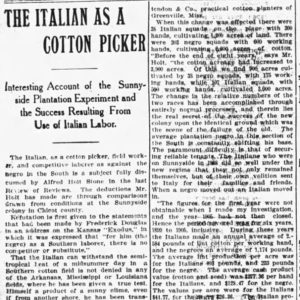 Sunnyside Plantation Article
  Sunnyside Plantation Convict Labor Article
 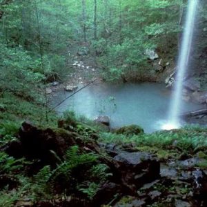 Sweden Creek Falls Natural Area
 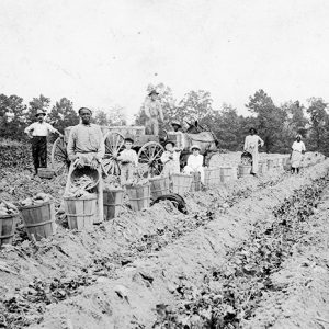 Sweet Potato Harvest
 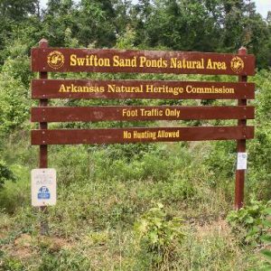 Swifton Sand Ponds Natural Area


