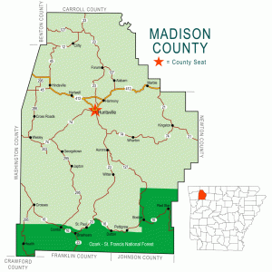
 Madison County Map
Media - Entry Category: Land and Resources - Starting with M
Madison County Map
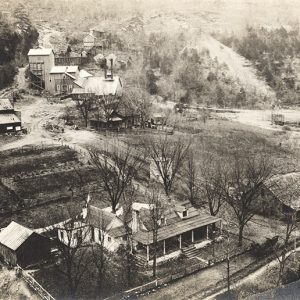
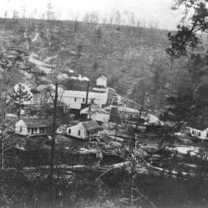 Magnolia Mines
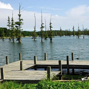 Mallard Lake
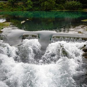 Mammoth Spring
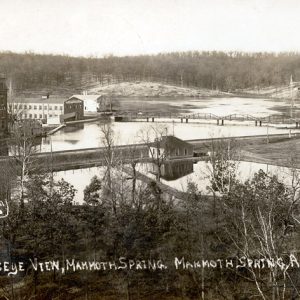 Mammoth Spring
 Mammoth Spring State Park
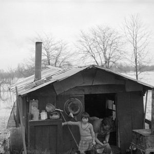
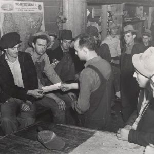 Manganese Miners
 Manganese Ore
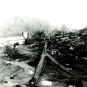 Manganese Ore Washer
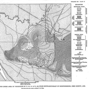 Map of Peridotite for Diamond Mining
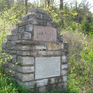 Marble Quarry Monument
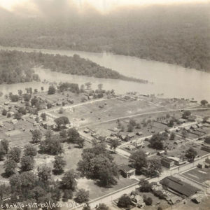
 Marianna Flood
 Marianna Refugees
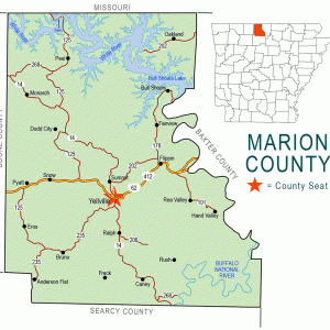 Marion County Map
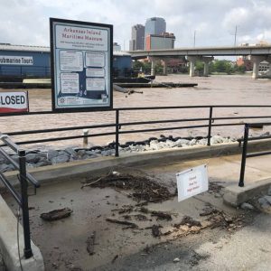 Maritime Museum Flooding
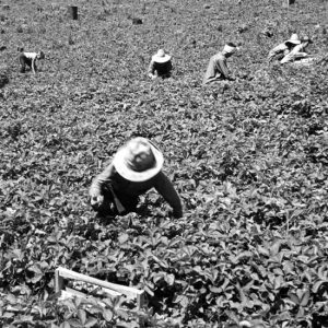 Marshall Strawberry Pickers
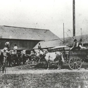 Martin Gin
 Martin Luther King Square Park
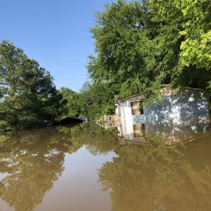 Maumelle Flooding
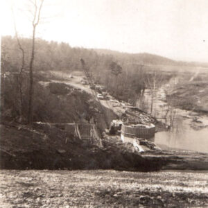 Maumelle River Dam
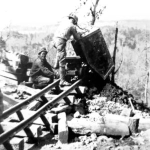
 Mauney Mine
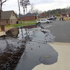 Mayflower Oil Spill
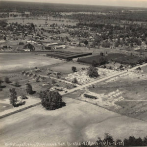
 McGehee after 1927 Flood
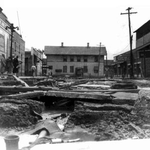
 McGehee Flood
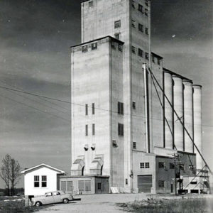 McGehee Rice Dryer
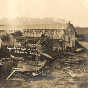 Mena Tornado
 Mercury Mining
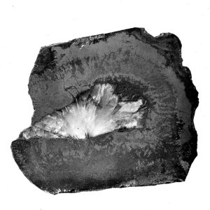
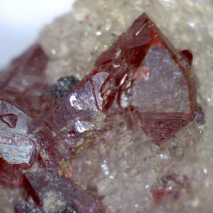 Mercury Sulfide (or Cinnabar) Crystals
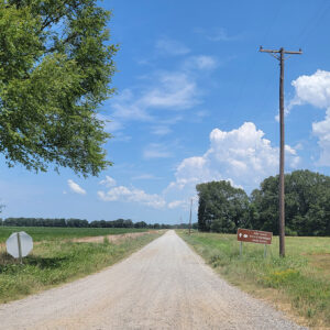
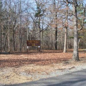
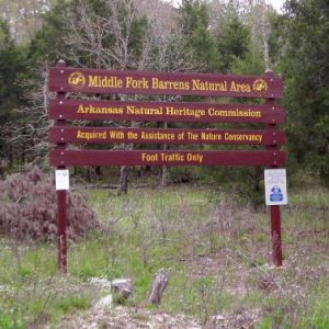 Middle Fork Barrens Natural Area
 Midland Holm
 Mike Freeze WMA
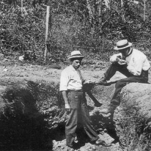
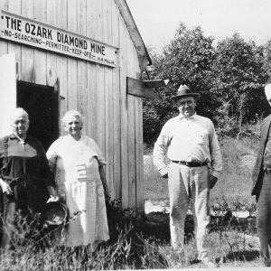 Millars at the Ozark Diamond Mine
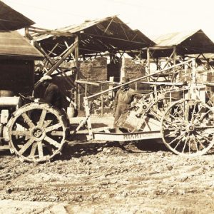 Miller County Farming Machinery
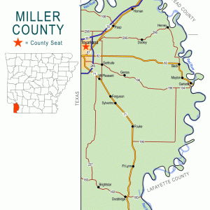 Miller County Map
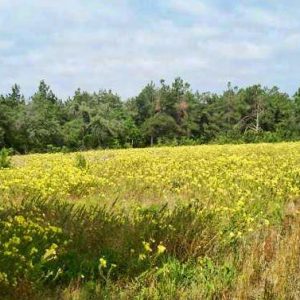 Miller County Sandhills Natural Area
 Mills Park Natural Area
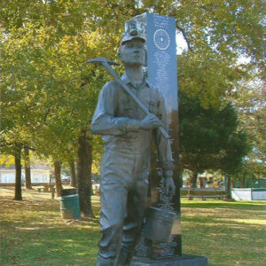 Miner Memorial
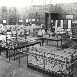 Mines and Metallurgy Exhibit
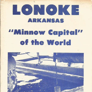 Minnow Brochure
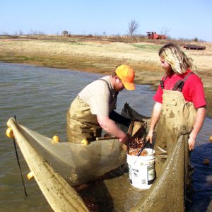 Minnow Harvest
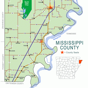 Mississippi County Map
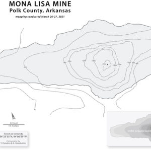 Mona Lisa Mine Isohypsometry
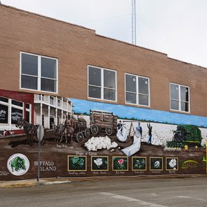 Monette Mural
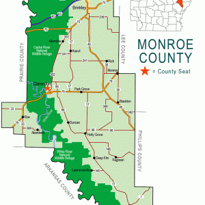 Monroe County Map
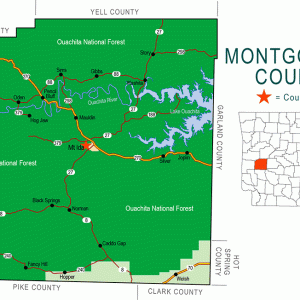 Montgomery County Map
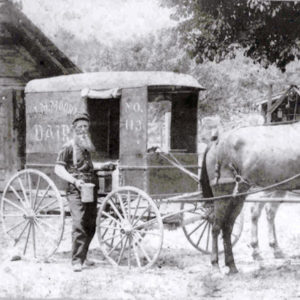 J. M. Moore Delivering Milk
 James Moore
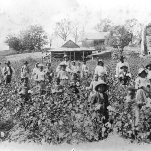 Moorefield Cotton
 Morning Star Zinc Mine
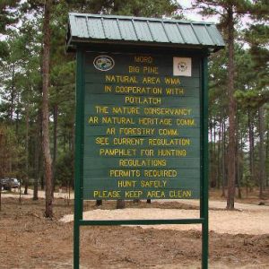 Moro Big Pine Natural Area


