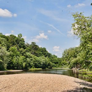
 Ouachita River at Oden
Entry Category: Geography - Starting with O
Ouachita River at Oden
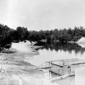
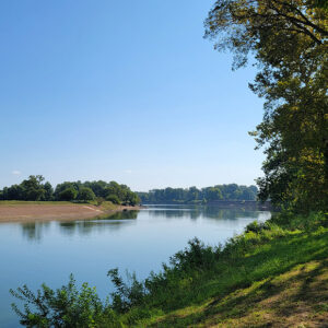 Oil Trough Park
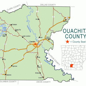 Ouachita County Map
Ouachita Mountains
aka: Ouachitas
The Ouachita Mountains, one of the six natural divisions of Arkansas, are generally characterized as folded ridges and valleys composed of Paleozoic rocks. They are unusual in North America in that the ridges are generally aligned east to west, unlike the Rocky Mountains or Appalachian Mountains, where the ridges usually run north to south. The most striking result of this orientation is that there is an extensive south-facing slope on each ridge that is exposed to the heat and light of the sun, as well as a north-facing slope that is protected from direct solar radiation and is consequently cooler and moister. The dry south-facing slopes are often covered with pine forests or woodlands, or even drier oak woodlands, while …
Ouachita River
The Ouachita River originates in the Ouachita Mountains of west-central Arkansas near the Arkansas and Oklahoma border and flows 600 river miles before joining the Black and Red rivers in north-central Louisiana. The Ouachita flows through eleven different counties in Arkansas and five parishes in Louisiana. The Ouachita is a river of diverse beauty. It begins as a small mountain stream at Eagleton (Polk County) and flows eastward approximately 120 miles. It winds through lush mountain valleys, steadily building as it flows between huge boulders beneath mountain bluffs. It flows onward on its 600-mile course amid banks of moss-covered oaks and cypress trees in the swampy bottoms of Louisiana. The Ouachita is noted for its great fishing, especially bass, bream, …
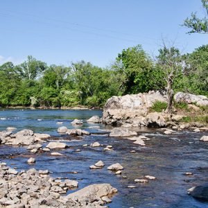 Ouachita River
 Ouachita River Ferry
Ozark Mountains
aka: Ozarks
The Ozark Mountains (a.k.a. the Ozark Plateau or Plateaus), representing one of the six natural divisions of Arkansas, are generally characterized as uplifted level plateaus composed of Paleozoic rocks. Streams have cut valleys into these plateaus, and, in some cases, the plateau surface is only visible as the flat tops of the mountains at similar elevations. The three distinct plateaus differ in topography, geology, vegetation, as well as inhabitants’ land use, history, and culture. Boston Plateau At up to 2,600 feet, the Boston Plateau, usually referred to as the Boston Mountains because of its ruggedness, is the highest of the Ozark Mountains. It extends as a belt across the southernmost Ozarks, generally parallel to and to the north of Interstate …


