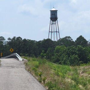
 Ola Water Tower
Entry Category: Counties, Cities, and Towns - Starting with O
Ola Water Tower
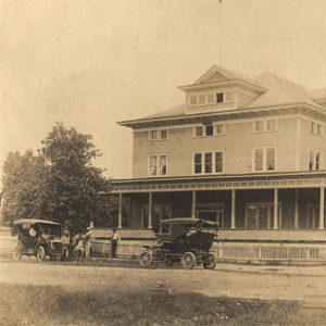
Old Austin (Lonoke County)
Settled in the early 1820s, what is now called Old Austin, located about thirty miles northeast of Little Rock (Pulaski County), was one of central Arkansas’s early settlements. Local folklore holds that Old Austin narrowly missed being the state capital. Once a thriving town, it experienced a decline after being bypassed by the railroad in the late 1800s. Today, it serves as a bedroom community of Cabot (Lonoke County) and nearby towns. The first settlers, among them James Erwin, came to the area in 1822. Before the founding of a town, the settlement at various times was called Oakland Grove, Oakland, Saundersville, and Atlanta. In 1848, Isaac Dunaway and Colbert Moore built the settlement’s first store. Growth was enhanced by …
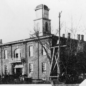
 Old Courthouse in Rush
 Old Enola Post Office
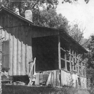
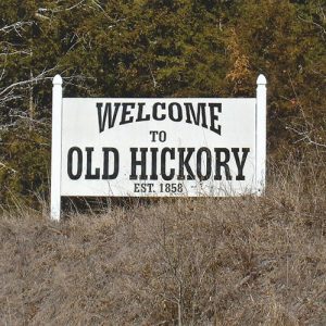
Old Hickory (Conway County)
Old Hickory in Conway County is just one of the many rural, unincorporated Arkansas communities that once served as area commercial centers and have since disappeared. Located about fifteen miles northwest of Morrilton (Conway County), the community was perhaps best known for a general store that closed in 1983. The first documented white settler, John H. Jones, was drawn to the area in 1849 by cheap land. On September 22, 1858, a post office was established with Abihu Arnn as its first postmaster. It is said that the long-lost original name for the post office was rejected due to its being too long. One story states that Julius Mackie Washington Masingill, an early settler, then suggested naming the office after the hickory …
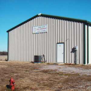 Old Hickory Fire Department
 Old Hickory Sign
Old Jackson (Randolph County)
Jackson was a town once located in Lawrence County, approximately two miles northeast of the current town of Imboden (Lawrence County) and several miles west of the Eleven Point River. The town was centered on the Old Jackson and Union roads. Jackson, one of the few towns located on the Southwest Trail, served as the county seat for Lawrence County from 1829 to 1837. It was also an important location on the Trail of Tears due to its placement along the Fort Smith to Jackson Road. After boundaries were redefined in 1861, the town was located in Randolph County. By the 1880s, little was left of the town, which had become known as Old Jackson. Many sources show 1830 or …
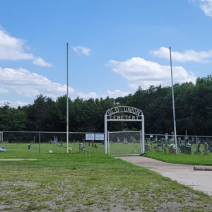
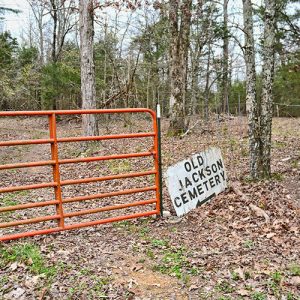 Old Jackson Cemetery
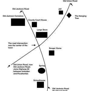 Old Jackson Map
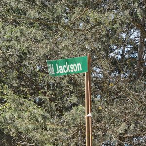 Old Jackson Road
 Old Lexa Post Office
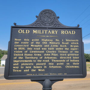 Old Military Road
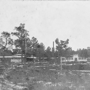
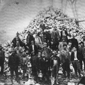 Old Philadelphia Mine
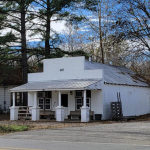
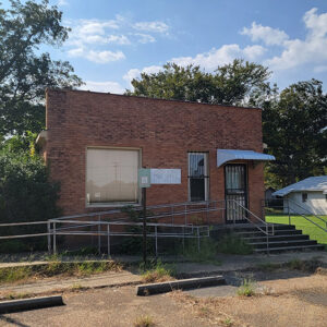
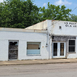 Old Post Office
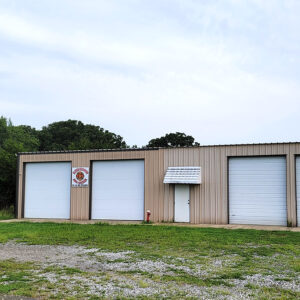
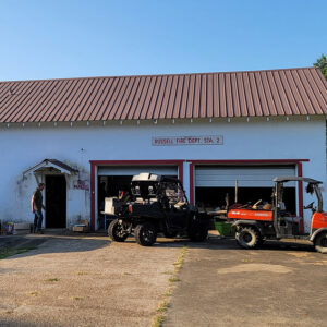 Old Russell Fire Department
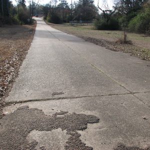 Old U.S. 71
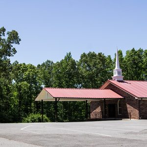 Old Union Baptist Church
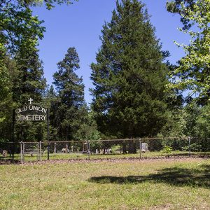 Old Union Cemetery
 Old Union Cemetery
 Old Washington County Courthouse
Olio (Scott County)
Olio is an unincorporated community in eastern Scott County located along Highway 80. Olio was established in 1858 along Dutch Creek. Agriculture and timber have contributed to the economy and way of life in the region. Prior to European exploration, the area surrounding Olio was a wilderness. Several species of wildlife that no longer inhabit the area, such as elk and buffalo, were present throughout the region. Numerous archaeological sites and burial mounds are located along the banks of prominent waterways such as Dutch Creek. Archaeological findings have provided evidence of early inhabitants dating to the Archaic, Woodland, and Mississippian periods. Further archaeological evidence has indicated that the people of the Caddo tribe later inhabited the area. During the late …
Oliver (Scott County)
Oliver is an unincorporated community located in northwestern Scott County along Highway 28 north of the Poteau River. Agriculture has traditionally been important to the area. Prior to European exploration, Oliver was a wilderness lush with native vegetation and numerous species of wildlife—including buffalo and elk, which no longer inhabit the area. Archaeological evidence from the Archaic, Woodland, and Mississippian periods has been discovered throughout the area. Additional evidence has indicated that the Caddo tribe had a strong presence along the Poteau River and other prominent waterways. Throughout the late seventeenth and early eighteenth centuries, French trappers and explorers traveled west from the Arkansas Post along the Arkansas River. From there, they began traversing smaller tributaries such as the Fourche La Fave River and Poteau River. It is likely that …
Olyphant (Jackson County)
The community of Olyphant is most noted for being the site of the last train robbery in Arkansas. On November 3, 1893, eight men hijacked Iron Mountain passenger train No. 51, robbed the passengers, and murdered the conductor, William P. McNally. The robbers were tracked down, tried, and found guilty, and three were hanged in Newport (Jackson County) in the only known multiple execution in Jackson County history. Olyphant is located on Highway 367 halfway between Newport, eight miles to the north-northeast, and Bradford (White County), eight miles to the south-southwest. Before the Civil War, Grand Glaise (Jackson County), a river port on White River, was the dominant community in the area and the second-largest town in the county. The …
Omaha (Boone County)
Omaha is a town in northern Boone County, about five miles from the Missouri state line. The town is on State Highway 14 (old U.S. 65) and was a stop on the Missouri Pacific railroad’s White River line. In the eighteenth and early nineteenth centuries, the Osage—who lived in what is now southern Missouri—would frequently visit the Ozark hills of what is now northern Arkansas on hunting and fishing expeditions. After the Louisiana Purchase of 1803, both Cherokee and Shawnee moved into the area. Local lore says that a Native American village called Sha-wa-nah existed at the site where Omaha would be built, although the village’s existence has not been verified by archaeological evidence. Even after treaties were revoked and …
 Ong Chair Company
Onia (Stone County)
Onia (pronounced Ownie) is located on Highway 263 three and a half miles north of Timbo (Stone County) near Roasting Ear Creek. The creek—popular for swimming, fishing, and baptisms—reportedly received its name when ears of corn were washed downstream during a flood. The two main landmarks of Onia are the Bethany Baptist Church and the post office in the center of the community. At one time, the area was part of the large community of Locust Grove, which was located in Searcy County before Stone County was created on April 17, 1873. What is today Onia was often referred to by locals as Lower Clark, with Upper Clark being in the Thola area of Searcy County. Near the old Roasting …
 Opal Fire Department
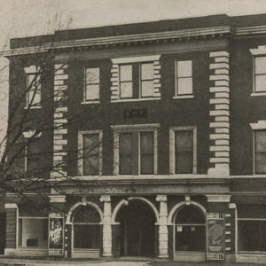 Opera House
 Opera House
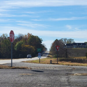 Entering Oppelo
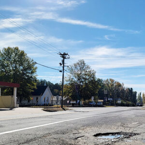
Oppelo (Conway County)
Known by thousands of travelers as the “turn-off” or last gas stop on the way to Petit Jean State Park, the small community of Oppelo had its origins many years prior to the development of the notable intersection of Highways 9 and 154. The often mispronounced name also provides recognition for this community of nearly 800. The area south of the Arkansas River in Conway County was negotiable territory in the early days and became a part of Perry County in 1840, when it was known as Aplin Township. In 1873, the Arkansas legislature returned the area to Conway County. Again, the area’s location relative to Petit Jean Mountain was an important consideration in the reunification with Conway County. The …
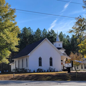 Oppelo Church
 Oppelo Street Scene
Optimus (Stone County)
Optimus is an unincorporated Stone County community in Optimus Township on Highway 5 across the White River from Calico Rock (Izard County), which is five miles to the north. Optimus is about twelve miles north of Mountain View (Stone County), the county seat, and about twelve miles west of Melbourne (Izard County). Bannerstones (stone artifacts whose function is much debated) have been found at Optimus, indicating early habitation by Native Americans in the caves and bluffs of the area. One of these caves, the Clay Cave, is easily accessible from Sylamore Road. Miles Ware Jeffery was born in 1816 in what is today Mount Olive (Izard County), three and a half miles south-southeast of present-day Optimus. His parents, Johoiada Jeffery …
 Original Wallpaper
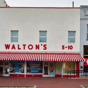 Original Walton's
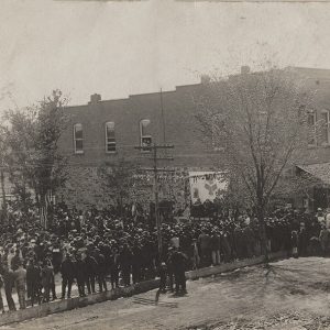 Orphan Train
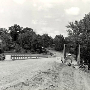 Osage Creek Bridge
Osceola (Mississippi County)
Osceola is located in northeastern Mississippi County on the Mississippi River, approximately fifty miles upriver from Memphis, Tennessee. Osceola is named for Chief Osceola of the Seminole tribe. Local historians have written that he visited the area in 1832 to explore the possibility of exchanging Florida land for Arkansas land, but no historical evidence supports this story. The community was the only county seat of Mississippi County until 1901, when Osceola and Blytheville were named dual county seats. Louisiana Purchase through Early Statehood Originally acquired by the United States in 1803 as part of the Louisiana Purchase, the area was largely populated by Indians. The series of severe earthquakes on the New Madrid fault from December 1811 to February 1812 …
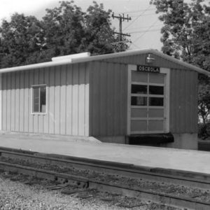 Osceola Depot
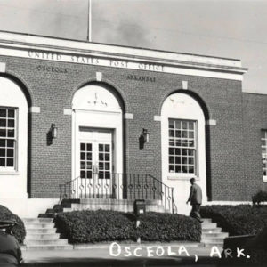 Osceola Post Office
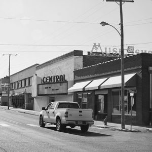
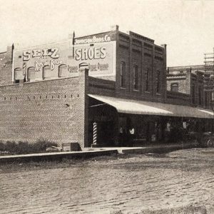 Osceola Street Scene
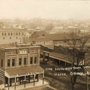 Osceola View
 Ouachita Avenue Historic District
Ouachita County
Ouachita County, the forty-fifth county in Arkansas, was created in 1842 from land taken from the northwestern parts of Union County. It was named after the Ouachita River on which the county seat of Camden, incorporated in 1844, sits on a bluff at a horseshoe curve of the river. Ouachita is the French spelling of a Native American word that is pronounced “Washita” and supposedly denoted good hunting or a river of many fish. The land in the county was covered with vast forests of pines and drained by bayous and sloughs running to the Ouachita River. The Ouachita River forms part of the eastern boundary of the county, while Clark, Dallas, Calhoun, Union, Columbia, and Nevada counties border the …
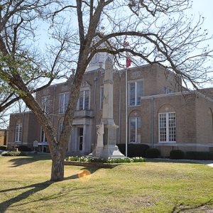 Ouachita County Courthouse
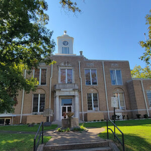 Ouachita County Courthouse
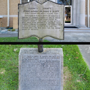 Ouachita County Courthouse Markers
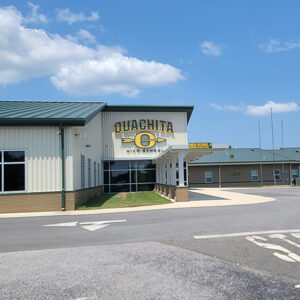 Ouachita High School


