O’Kean (Randolph County)
The town of O’Kean (Randolph County) first developed in the Black River bottoms, the area to the south and east of the Black River in Randolph County, shortly after the Civil War. Attracted by plentiful game and productive ground, most pre-war settlers in the area lived near the road from Pocahontas (Randolph County) to old Greensboro (Craighead County) and Gainesville (Greene County), or along the Cache River. The history of the actual settlement and naming of O’Kean remains clouded. There were settlers near the junction of the track and road, but the name of that settlement, if it had one, is unknown. The name O’Kean came from Father James O’Kean, the former priest of St. Paul’s Catholic Church. He …
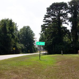 Oak Grove
 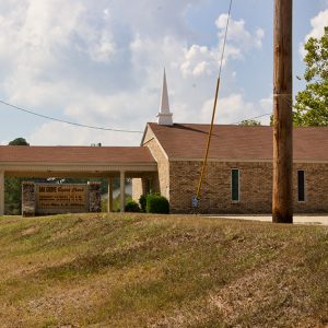 Oak Grove Baptist Church
 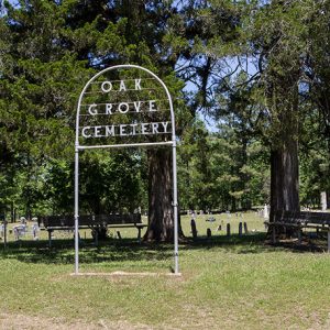 Oak Grove Cemetery
 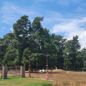 Oak Grove Cemetery
 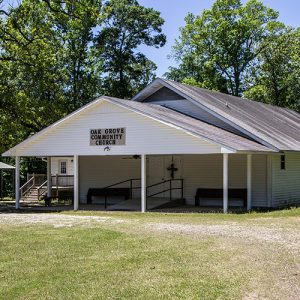 Oak Grove Church
 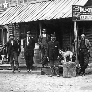 Oak Grove Store
 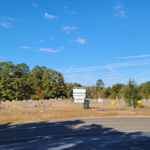 Oakhill Cemetery
 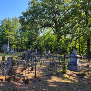 Oakland Cemetery
 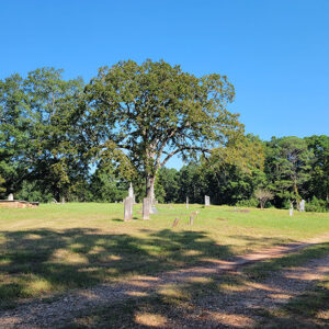 Oakland Cemetery
 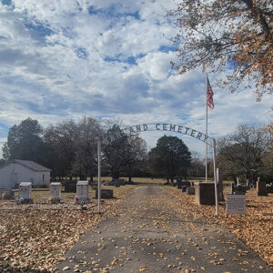 Oakland Cemetery
 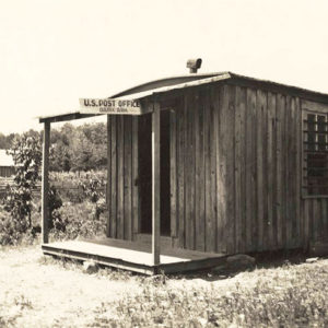 Oark Post Office
 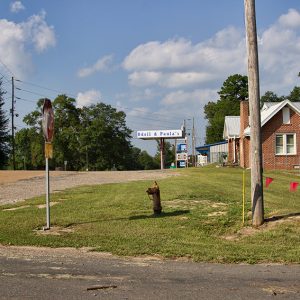 Odell & Paula's Food Center
 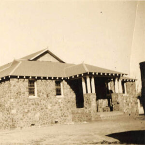 Oden School
 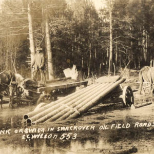 Oil Field Workers
 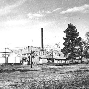 Oil Mill
 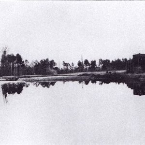 Oil Storage
 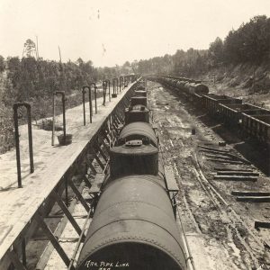 Oil Train
 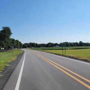 Entering Oil Trough
 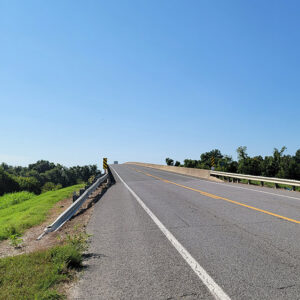 Oil Trough Bridge
 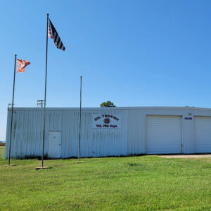 Oil Trough Fire Department
 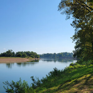 Oil Trough Park
 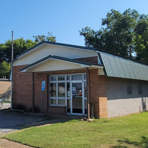 Oil Trough Post Office
 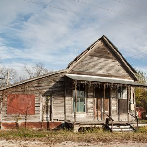 Oil Trough Store
 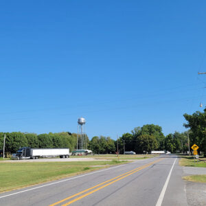 Oil Trough Street Scene
 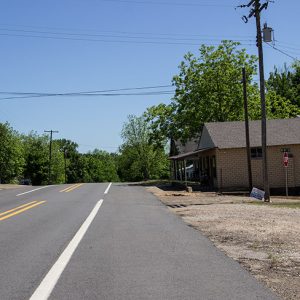 Okolona
 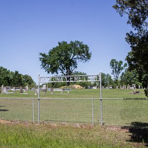 Okolona Cemetery
 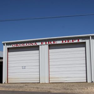 Okolona Fire Dept.
 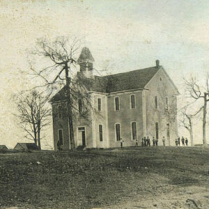 Okolona Male and Female Institute
 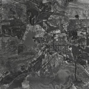 Ola Aerial View
 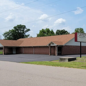 Ola Baptist Church
 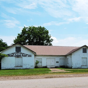 Ola Legion Post
 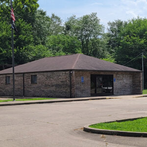 Ola Post Office
 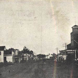 Ola Street Scene
 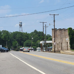 Ola Street Scene
 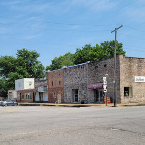 Ola Street Scene


